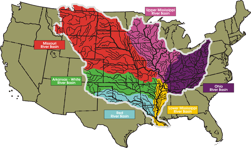
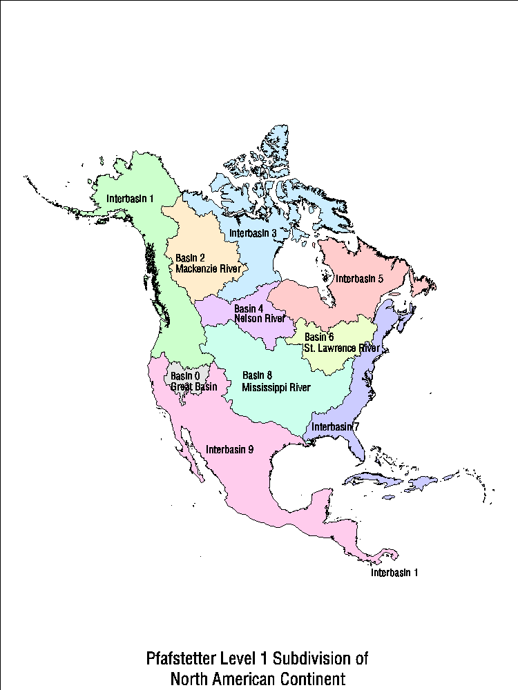
In most of Utah and Nevada, rivers don’t run to the sea, and, instead, evaporate within the Great Basin. In the Rocky Mountains, the Continental Divide earns a lot of attention, with signs posted each time a road crosses it. Meanwhile, by the time it reaches the delta, the Mississippi River collects and drains the massive center of North America, including: the Upper Mississippi River Basin, the Missouri River Basin (including the Platte out of Denver), the Ohio River Basin (barely separated geographically from the adjacent St. Lawrence River Basin--Great Lakes--drainage), the Arkansas-White River Basin (including southern Colorado and across Oklahoma), and the Red River Basin (which makes me think of the folk song and some good friends in Texas). Three other rivers drain north and east from the center of the continent, while the rest of the rivers just flow to the nearest ocean.
MAPS!!!
Basin Map
Continent Basin Map
Divide Map
No comments:
Post a Comment